Passing by and staying by Blidinje Lake recharges your batteries like few experiences you’ve had before arriving at the Blidinje Nature Park. But did you know that you can observe this beautiful lake, filled with clear mountain water, as if it were in the palm of your hand, from an altitude of 1800 meters? Well, that’s exactly what the hiking trail from Barzonja (near the church of Our Lady of the Snows) to the peak of Jelinak at 1805 meters offers. Although the entire tour is very short in length, it should not be underestimated! Hikers cover a little over 6 km (round trip), but within those 6 km, they ascend about 600 meters in altitude, making the trail quite steep.
The ascent starts precisely from the point where Čvrsnica emerges from the Blidinje pastures far into the heights. Along the ridge called Jelina kosa, you can observe the entire Blidinje area as well as the Bara region stretching towards Drežnica. The entire ridge on both sides is very steep, so it is recommended to strictly follow the hiking trail, which runs along the ridge and is the safest option.
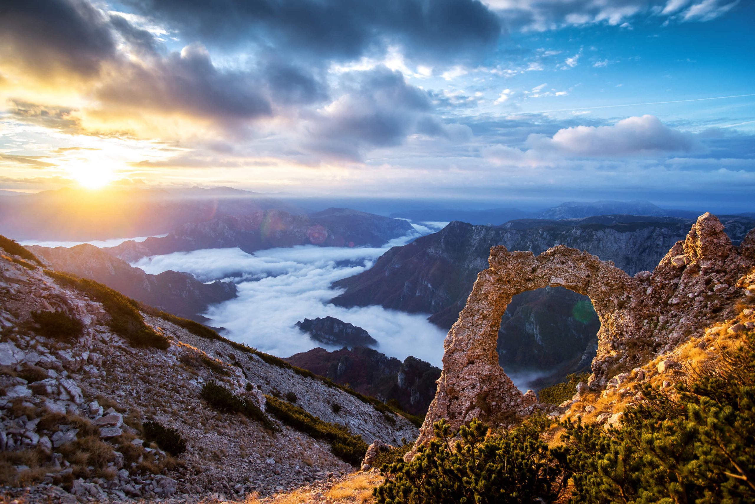
The most beautiful aspect of this trail is the view of Blidinje Lake. As the trail ascends towards the summit, the views of the lake become even more stunning. Having it within reach like this can only be experienced from this spot, and that’s what makes this trail stand out from the others. Upon reaching the summit, you can see another aspect that completes this entire story. It’s the view of Velika Čvrsnica and those peaks above 2000 meters that are in close proximity to the Jelinak peak. Along with beautiful views of Vran and a panoramic view of the entire Blidinje area, from this trail, you can also see Tomislavgrad, as well as all the surrounding mountains, while further south, you can see the entire Biokovo range and, in the background, Mosor.
For this trail, we can say that it’s the most beautiful tour for panoramic sightseeing in the Blidinje Nature Park. It offers a number of excellent locations to take great photographs, ones that few people have. For the more adventurous, it’s worth mentioning that the trail continues towards Pločno.
Additional Information:
The trail is consistently averaged and marked throughout, and there is no water along it. Although demanding, this is one of the easiest hiking trails on Čvrsnica and is excellent for those with lower physical fitness levels. The entire ascent takes two to two and a half hours at a very leisurely pace.
The length of the trail is about 6 km (round trip), with an altitude difference of about 600 meters. The trail is considered moderately demanding. It is well marked and averaged.